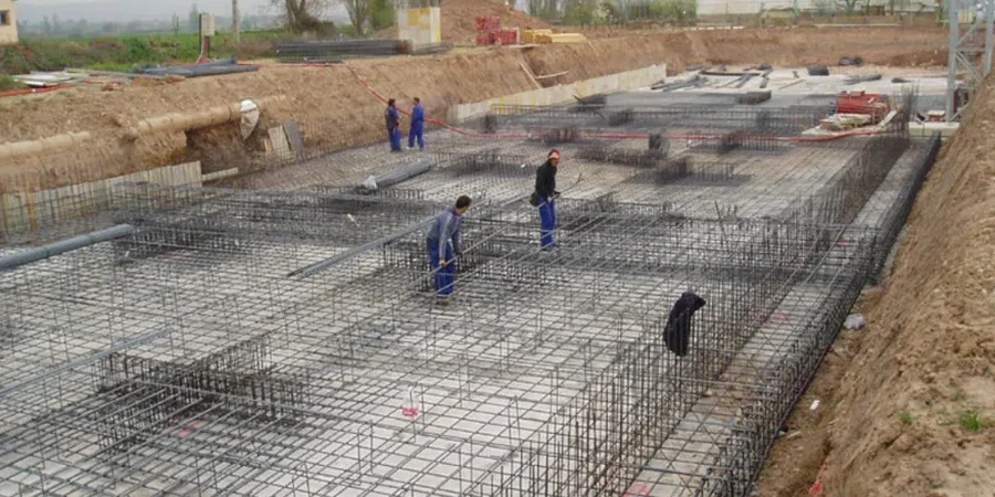
Pickering's subsurface landscape tells a story written by glacial Lake Iroquois. The city sits predominantly on a plain of dense, silty clay till overlying the Georgian Bay shale formation, a deposit that can vary from stiff to very stiff within a single building footprint. Groundwater often perches within sand and silt lenses at depths of 2 to 5 meters, particularly in neighborhoods east of the Rouge River valley. For any project here, from a residential addition near Frenchman's Bay to a commercial structure along Brock Road, shallow foundation design must reconcile the moderate bearing capacity of these glacially overconsolidated soils with the seismic demands of the Southern Great Lakes seismic zone. A site-specific investigation that includes test pits to visually log the upper weathered crust is the essential first step before any footing geometry is finalized.
In Pickering's Lake Iroquois plain, the difference between a successful shallow foundation and a costly repair lies in mapping the buried sand lenses that control both drainage and differential settlement.